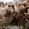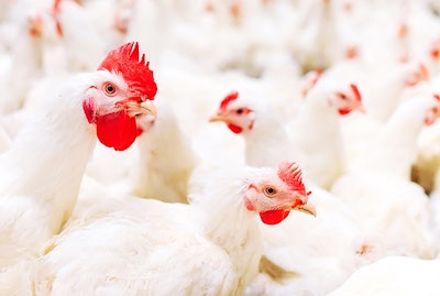
Researchers at Colorado State University and the United States Department of Agriculture (USDA) Animal Plant and Health Inspection Service (APHIS) used remote sensing and synthetic data approaches to estimate the domestic poultry population in the U.S., information that could help prepare the industry for potential future avian disease outbreaks.
“We want to be sufficiently prepared to respond to and effectively control infectious disease outbreaks that decimate poultry and negatively impact the industry,” said Sheryl Magzamen, Associate Professor, Environmental and Radiological Health Sciences at Colorado State University.
“The recent events of COVID-19 in human populations demonstrate how accurate and timely data is critical to controlling outbreaks. Given the importance of poultry operations in local economies, food systems, and national and international commerce, our goal is to provide the best data possible to respond in the event of an avian disease outbreak scenario.”
The results of the study were published in the December 2020 issue of the journal Geospatial Health.
Remote sensing
To create the estimate, the research team used aerial imagery to identify buildings with the right shape and size of commercial poultry barns. The remote sensing was conducted in 594 U.S. counties with more than 100,000 birds in 34 states, based upon census data from the USDA National Agricultural Statistics Service.
“For U.S. counties with intensive poultry production data, remote sensing data allowed us to understand how to determine where poultry operations exist using the unique image fingerprint (also called a ‘spectral signature’) for poultry barns,” Magzamen explained.
“Since there may be structures that may appear to be similar to poultry barns, we added additional data to see if poultry barns were likely in a specific location. This is where our synthetic data entered into our identification system: we used the Farm Location and Agricultural Production Simulator (FLAPS) to determine where poultry operations were likely to be.”
FLAPS allowed the researchers to make best determinations about the likely locations of poultry operations. For example, it helped rule out urban and other highly populated areas.
“This work would have been impossible without technology,” Magzamen said. “In addition to the geospatial imagery and geospatial information on land use, this project would not have been possible without geographic information systems (GIS) software, computer systems with high processing speed, adequate data storage and two programming languages. And of course, it took a large team of researchers with expertise in GIS, programming, spatial modeling and veterinary medicine to make this project work.”
In the future, the researchers hope to use this approach to create a model to better understand migratory flyways and improve wild bird surveillance efforts.
“Knowing where these “hotspots” for domestic poultry exposure are can help the poultry industry plan for early intervention to prevent avian diseases from infecting poultry populations,” Magzamen concluded.
Like what you just read? Sign up now for free to receive the Poultry Future Newsletter.